
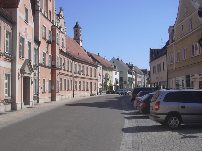
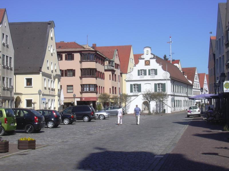
Market square |

Easter decorations |

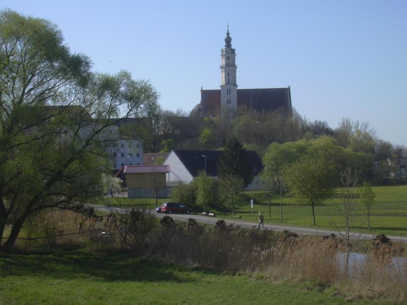
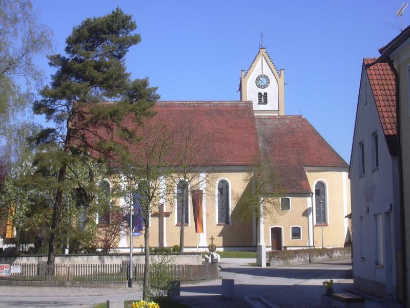
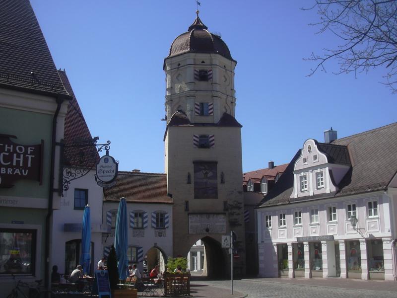
Church with tunnel |
Breakfast in the Straußen doesn't start before 8 o'clock and I'm taking my time, so it's not before 9:15 that I actually set out for the second part of the journey. Time is not a problem, though: today's journey will be shorter than yesterday's, and the general direction is south-east instead of east, therefore the headwinds will be less of a hindrance. It's warm enough already to ride with just a T-shirt.
|
Market square |
Easter decorations |
Church with tunnel |
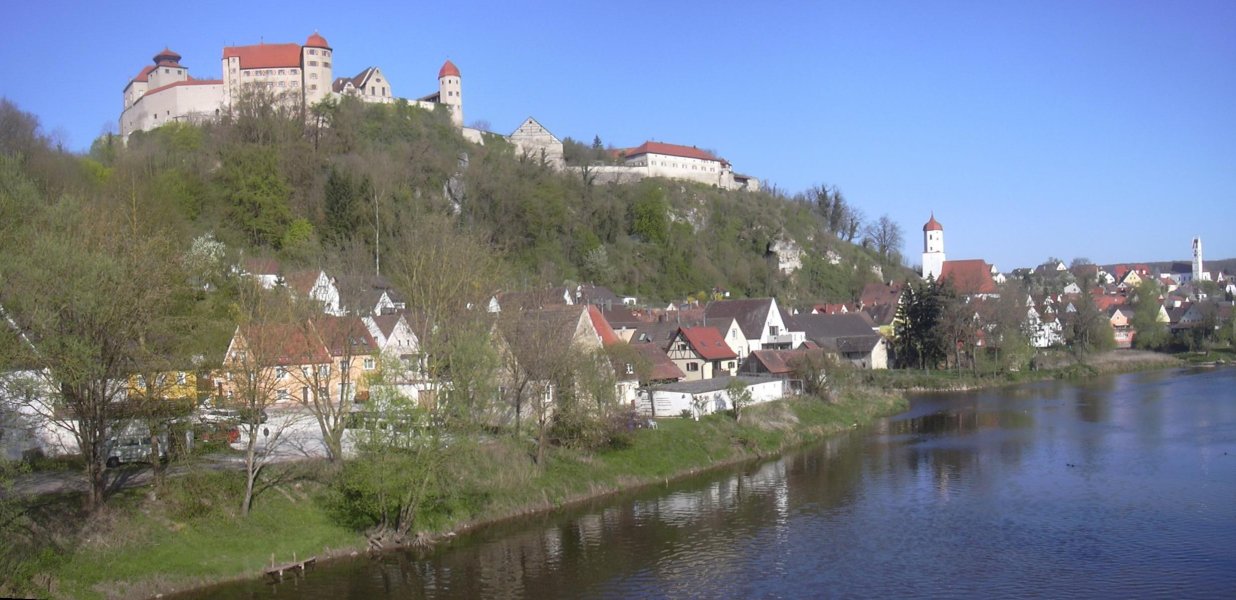
Before leaving, I tour the town a little bit: it's built on the narrow hillside on the right bank of the Wörnitz, nestling against the castle hill. The hill is so steep that the largest building, the church, actually has a tunnel under it. Unfortunately, the romantic old stone bridge across the river is under repair, so I have to settle for the more stable but less exciting modern bridge.
View of Harburg |
I leave Harburg on the small road that leads to Brünsee, then follows a bend of the river. I pass an elderly lady rolling along the country road in her electric wheelchair, enjoying the morning as much as I do. At the next crossroads, I ignore the signposted bike route and take a shortcut across a hill that saves several kilometers (climbing hills feels much easier than the day before).
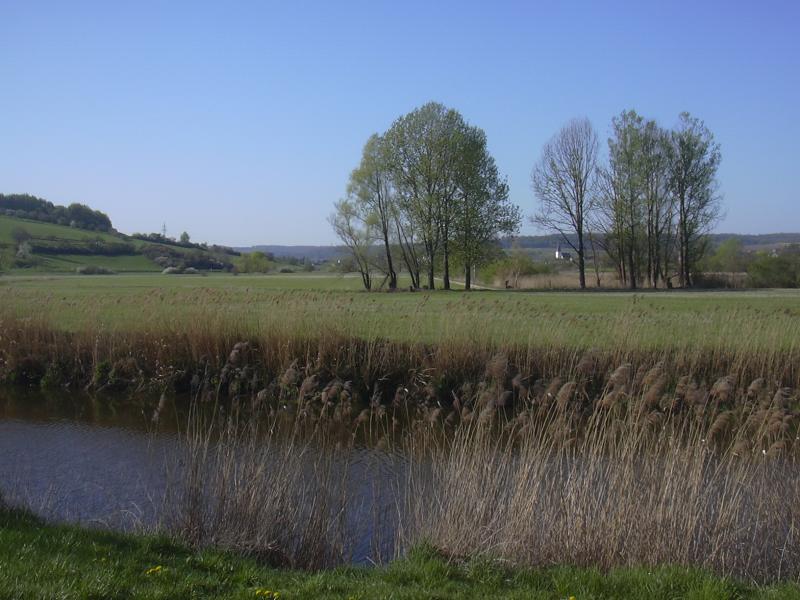
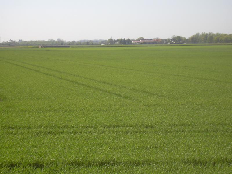
Meadows around the Wörnitz |
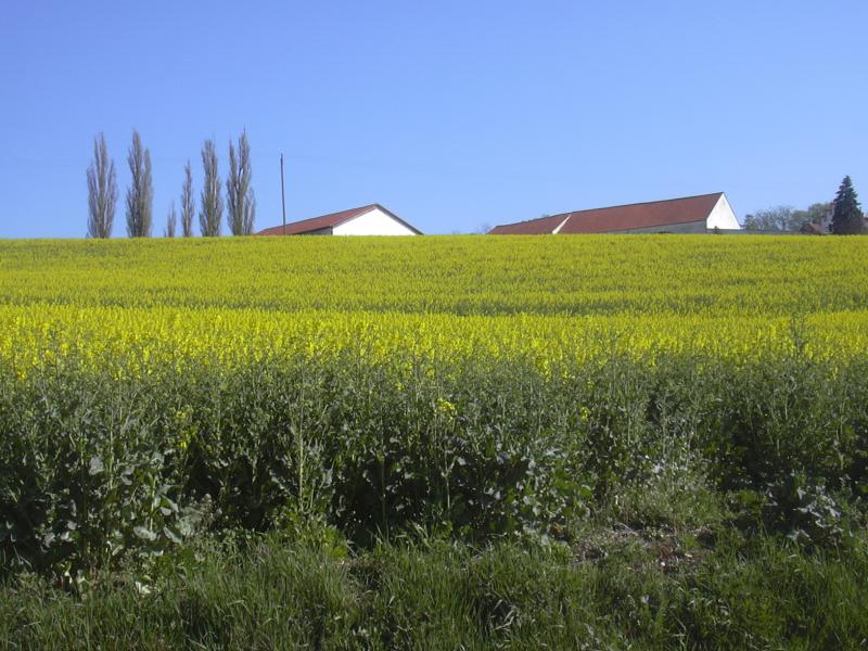
Farm behind a rape field |
Donauwörth, another beautiful old town, is reached as the clock strikes ten. I briefly pay the town centre a visit, then cross the bridge across the Danube.
View of Donauwörth |

Town wall in Donauwörth |

Reichsstraße |

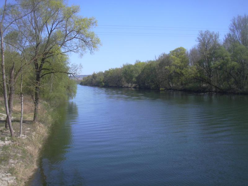
Confluence of Danube and Wörnitz |
The landscape changes again, becoming completely flat in the "Donauried" on the southern bank of the river. Headwinds are strong again as I ride straight east towards Genderkingen, the last Swabian village on this tour (notice the "-ingen" suffix). After Genderkingen, the bridge over the river Lech comes up. The Lech is the traditional border between Swabia and Bavaria; it ceased to be a political border long ago, but dialects and traditions still differ on both sides.
Donauried |
Genderkingen |
The river Lech |
The first settlement on the other side is Rain, a nice little town with a neatly kept main street. The market place features a statue of Tilly, a Catholic general in the Thirty Years' War, whose troops destroyed the area I'm originating from. Maybe that's the locals' way of saying hello to Protestant foreigners like myself. It turns out that Tilly died in a battle that took place near this town in 1632, and a glance into the bookshop window reveals that this weekend marks the anniversary of said battle. They have quite a few memorabilia on the battle (between the guidebooks on how to get thin or rich), but no signs of any commemoration ceremony are visible anywhere in the town.
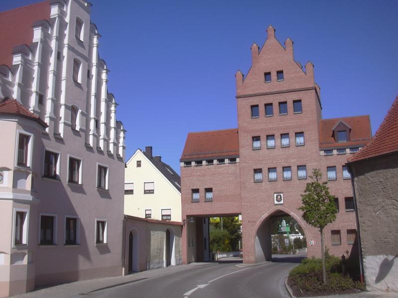
Town gate in Rain |
Main street |

Statue of Tilly |
The name of the next village leaves no doubt as to which region we've arrived in. Its suffix is "-ing", and in case anybody fails to catch on, there's still the prefix: welcome to Bayerdilling. From here, a small country road runs directly towards Munich, passing mostly small villages along the way, with the exception of Aichach, some 30 kilometers distant. The way there is relatively event-less; the road winds through a pleasant landscape, scales a little hill here and there, visits or passes by some random villages. Somewhere along the way, an idiot driver sounds his horn at me, for no readily apparent reason. Just after one o'clock I arrive at Aichach.
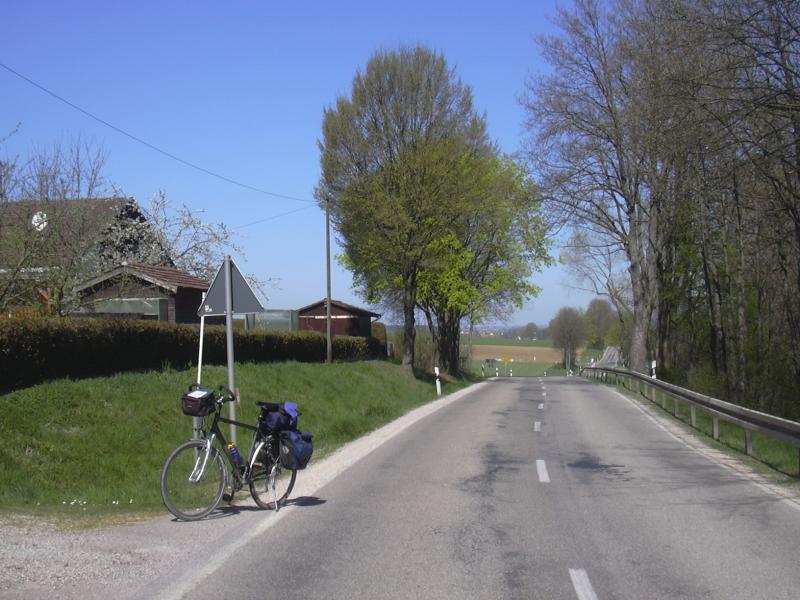
Taking a break on the roadside |
Aichach is somewhat larger than Rain, but quite similar otherwise: most of the old town centre grouped around a longish wide main street that doubles as a market square. A bakery on the market square is open, and I go inside for an extended mid-day break.
Aichach |
Town gate |
After leaving Aichach around two o'clock, the road continues much as before, except that the undulations become more pronounced: the hills are somewhat larger (but not steeper), the descents correspondingly longer, but the progress is good. I stop only once to take a picture of one of the more remarkable village signs: Xyger. I wonder what the origin of this name is?
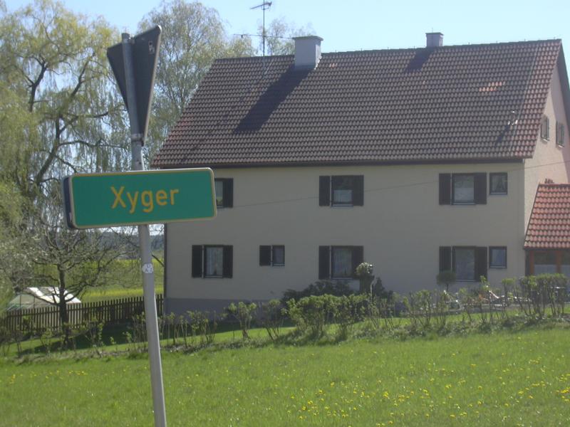
Xyger |
At Erdweg the road becomes busier as the proximity to Munich makes itself felt. One or two villages later, bicycle lanes start to appear, alternating happily between the right and the left side of the road. Obviously automobilists need to be protected from having to worry about other people on the road.
After one and a half hours of riding I reach Dachau, which marks the beginning of the suburban belt around Munich. Originally, I had planned to visit a café in the town centre here, but now I feel like going on and finishing the job. In Karlsfeld, my route leads along an ugly highway-like main road. Another car driver blows his horn at me. Sheesh.
But finally, I've reached the outskirts of Munich, and soon I join paths that I still recognise from my previous time there. At half past four I'm standing at the Olympic stadium, and it is here that I feel the journey is over. I sit down in the nearby beergarden and have a small meal. I've contracted a bit of sunburn - apparently the sunscreen bought for use in India was no match for the premature summer weather over here. After finishing the meal I move on to the youth hostel, which is just a couple of minutes away.

Almost there |

Olympic stadium |
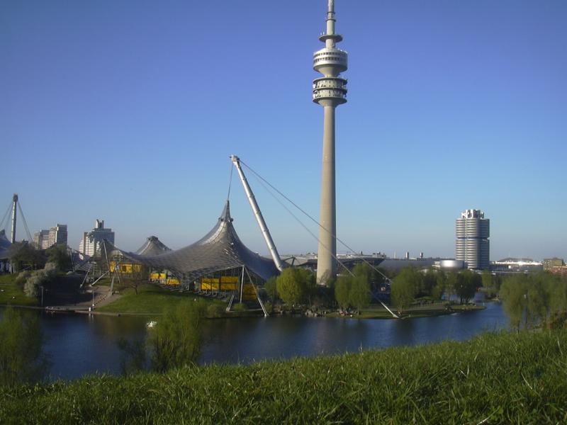
Olympic park |
In the evening, I go back to the Olympic park and lie on the slope of the Olympiaberg to watch the sun go down. It's a pleasant conclusion of the trip, and it makes me look forward to living in Munich.
Total distance of the trip: 255 km
Total riding time (not including breaks): approx. 14 hours