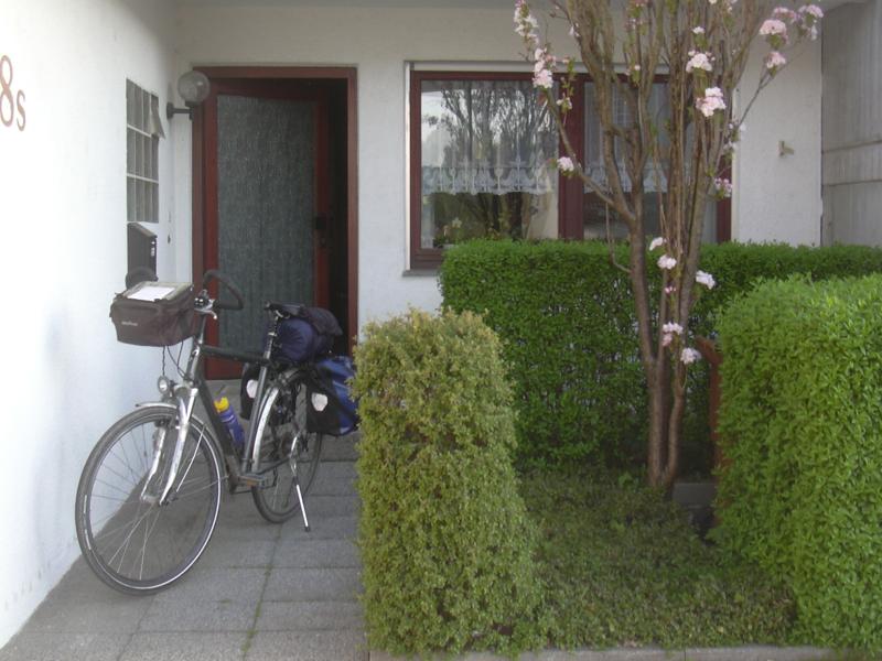
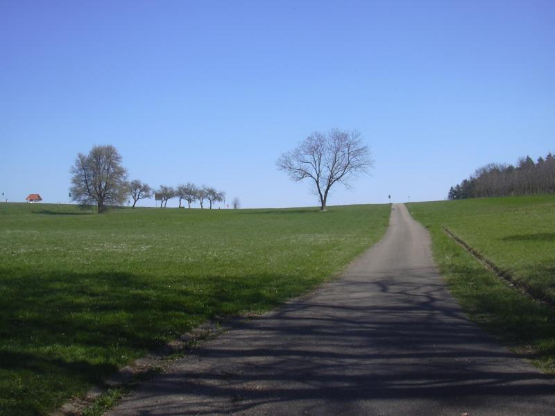
Ready to go |
On Saturday morning, I intended to leave early, around 7 o'clock. First, because I love being out on weekend mornings, when the air is fresh, the landscape is quiet and peaceful, and a whole long day full of sunshine awaits. Moreover, being jetlagged ought to facilitate getting up early.
In the end, I sleep a little longer than that. 45 minutes later than intended, I start out and, for the last of a thousand times, roll down the little dead end in which my old home is located. Fifteen minutes later I ride across the bridges spanning the rivers Neckar and Rems at Remseck.
|
Ready to go |
Birds are singing in the fresh morning air as I slow down to negotiate a little climb towards Hegnach. Twenty minutes later I descend back into the Rems valley, passing by the old town centre of Waiblingen. For the next sixty kilometers or so, my path is going to lead me through this valley, which has a signposted bike path all the way. As usual, the secret to using it is knowing where to ignore it. The path is fine most of the time, but occasionally it leads steeply into the woods on narrow mud tracks, which I try to avoid today.
A first short break is taken at Schorndorf. More familiar villages pass by, all dressed up in spring colours: Urbach, Plüderhausen, Waldhausen, Lorch with its monastery, all seen a dozen times during the past couple of years, so I hardly even stop to take photos. By 10 o'clock, it is more than warm enough to take off the wind coat and continue with a T-shirt. Not much later I reach Schwäbisch Gmünd, one of my favourite towns in Swabia: lots of dignified old houses, a curious old church with strange stone carvings, and a wide and long market square, which is bustling with people by now. Having travelled some 50 kilometers, I decide it is time for a second breakfast. I buy a croissant and a hot chocolate (at rip-off prices), sit down at the market well and enjoy the scenery.
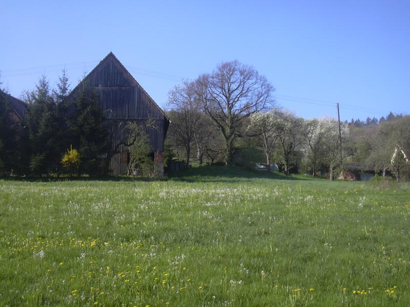
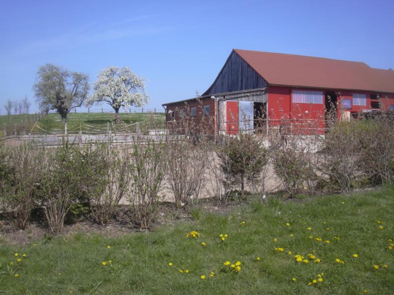
Some farm near Plüderhausen |
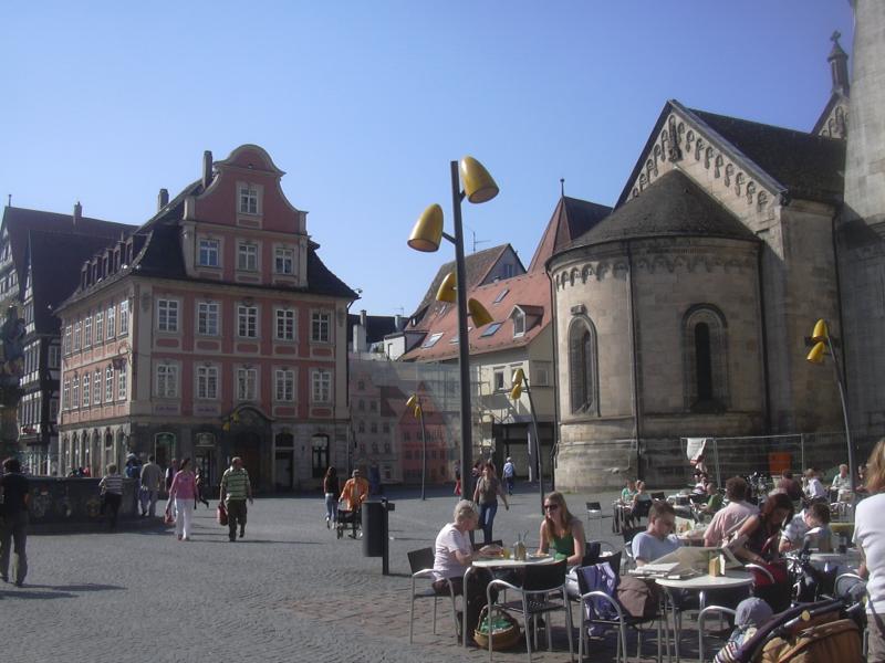
Schwäbisch Gmünd |
Twenty minutes later I am back on my way, leaving the town centre through a centuries-old tower, then getting annoyed at the narrow, bumpy bike lane that accompanies the main road out of town.
I'm getting into less familiar territory at that point, so after finally leaving Gmünd I follow the signposted Rems valley bike path again, which at this point runs on a foot/bikepath in parallel with the main road and with a bad surface. The fact that the easterly winds have freshened up and are blowing in my face doesn't help either, and my mood sinks just a little bit. After Zimmern I'm back on a quiet country road, but the wind persists.
A while later I pass a sign telling me that the border of the Roman empire once passed that place. There's a low wall there, marking where the 'Limes' used to run. It must be a reconstruction, but the sign claims that it is part of the world's cultural heritage. Oh well.
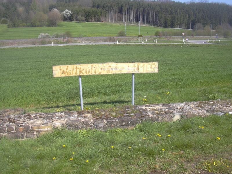
The Limes wall |
Here in the upper parts of the Rems valley, the route involves a couple of "hills". Not really hills, only up to twenty meters, but I'm finding them more difficult than usual. Not having bicycled for a full month and a heavier load than usual are taking their toll. That and the headwinds mean that progress is slower from now on.
At noon I pass Mögglingen, then follow some quiet farming lanes into Essingen, the last village along the Rems, which is merely a small brook here, near its source. A brief climb towards the Rems/Kocher watershed follows, then the town of Aalen lies in front of me, and the next part of the route is revealed: a little bend towards the north is required to find the low passage between the northernmost parts of the Swabian Jura and the hills of the Virngrund.
Find the horse |

The Rems in Essingen |
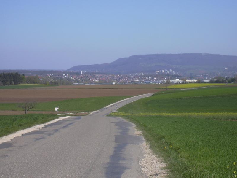
Distant view of Aalen |
I reach Aalen on small farming roads and pass it quickly, not stopping to see the historical town centre (what's left of it, anyway), but take my "lunch break" at Wasseralfingen instead. I've run out of water, so I fetch some at the local cemetery.
The road becomes a little more hilly now, eventually crossing the Kocher/Jagst watershed, and I realise that I'm not in good shape at all. Can I can cite jetlag as another excuse? Just half an hour after the previous break, I find a supermarket in Westhausen, stop to buy some mineral water and fruits and have another break. Thankfully, two thirds of today's distance are already done and it's only two o'clock, so I have time to spare.
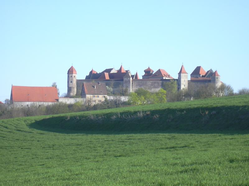
After resting, progress becomes a little easier again. On the right-hand side, Kapfenburg castle appears, sitting on the northern edge of the Swabian Jura and dominating the view from there. I leave Lauchheim on a farming road to avoid the traffic on the B29. A steep climb, followed by a descent, then the road runs in parallel with the railway track again. A horde of garden gnomes appears next to the road - some family's weekend home somewhere quiet in the hills.
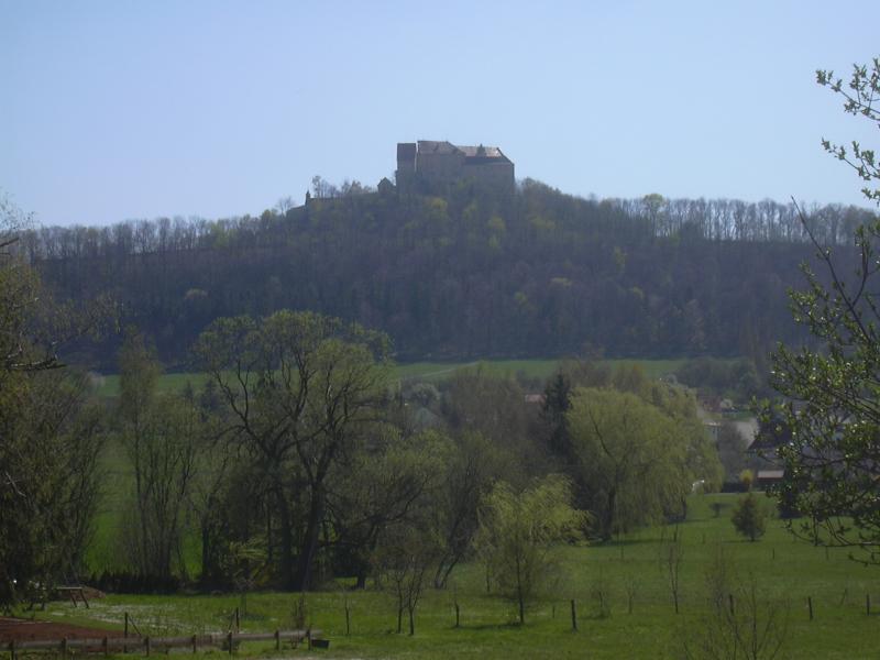
Kapfenburg castle |
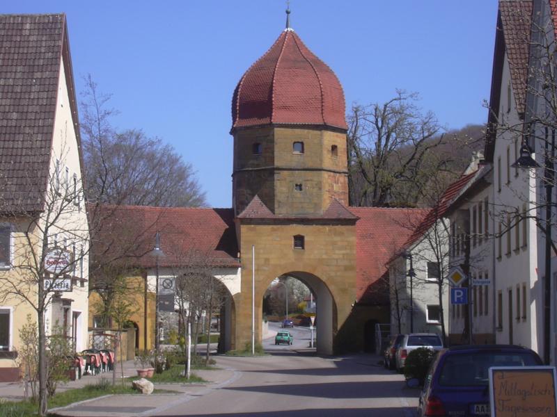
Town gate in Lauchheim |
Another brief climb, and then I'm there, at the geographical turning point of this trip: an otherwise unremarkable ridge marks the watershed between Jagst and Eger, or, more significantly, between Rhine and Danube, between North Sea and Black Sea. From here on, the waters flow towards Bavaria. The railway celebrates the occasion by disappearing into a tunnel. I celebrate the occasion by contributing some water. Which way will it go, I wonder.
The watershed |
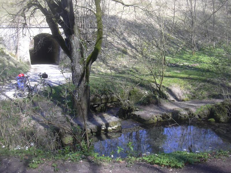
At this point, my otherwise streamlined route-plan makes an exception to visit the source of the small river Eger. The problem is, neither Google nor my own maps volunteered a straightforward path to the source, which is located in a little side valley next to the railway tracks. I find a promising gravel path leading into said valley, follow it, only to find that it ends abruptly in a field. The only option is to get off and push the bike along the narrow edge between a ditch and the field. A tiny mouse scurries across, startled by my presence. Thankfully, this episode ends after some 500 meters, when I reach my goal (and another path, too).

End of the road |

The Eger source |
Same from above |
The Eger source is exemplary for this karst region: rain vanishes in the porous ground, runs through unexplored caverns deep underground and then comes to light again as a small stream at the foot of some hill. This one makes an idyllic resting place, too.
Soon afterwards, the next landmark appears on the left-hand side: the Ipf, a solitary hill used even in Celtic times as a fort. In Bopfingen, the small town nestling at its feet, cars are queuing up behind a tractor, and I overtake them all. Fun.
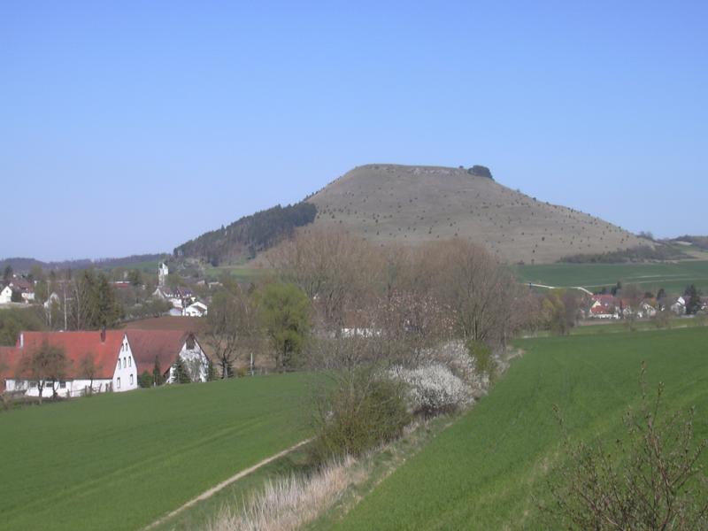
The Ipf |
The hills are getting smaller now as I approach the so-called Nördlinger Ries: an almost circular depression of 20 kilometers diameter created by the impact of a giant meteor long ages ago. Said depression interrupts the Jurassic ranges that are traversing southern Germany from south-west to north-east and allows easy passage towards the Danube (thank you, meteor).
A couple of small villages later, and I'm in Utzmemmingen, the last village in Baden-Württemberg. To the left, the "Daniel", the high church tower of Nördlingen, beckons to visit this romantic gem of a medieval town, which I would surely do if this trip was of a more touristic character. For now, I decide on a shortcut and bypass the town in the south.
Somewhere on the next small hill after Utzmemmingen I pass the state border. I'm surprised not to see a big sign telling that I'm about to enter God's Own Country (also called Bavaria, for better distinction from other God's Own Countries). In fact, all they have is a little, easily overlooked sign saying "Kreisgrenze" (county border). Then again, the dialect isn't changing - Swabian is spoken on both sides, as the lands here were annexed to Bavaria only in the early 19th century, and traditional Bavaria only starts further east.

"County border" |
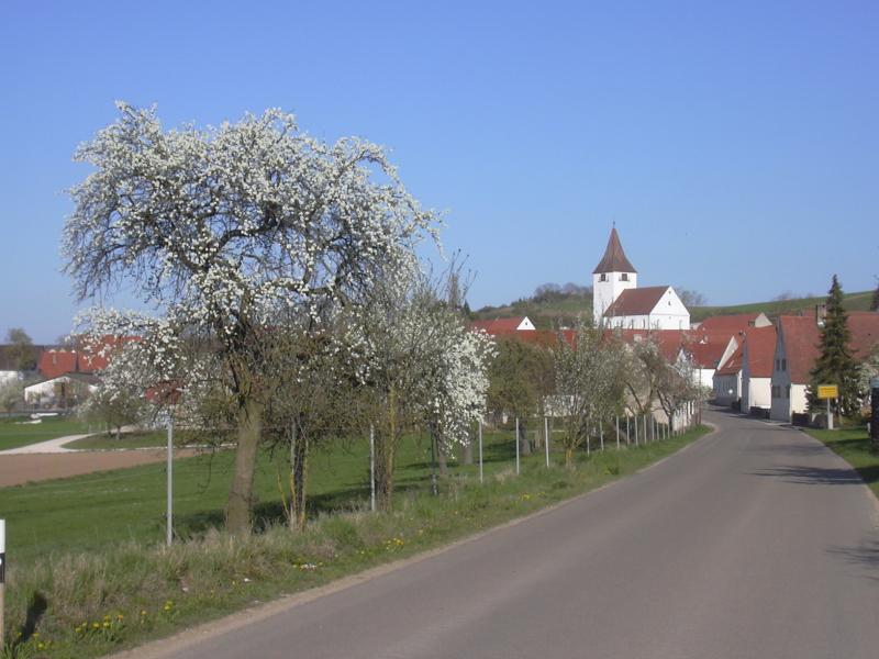
In the village of Reimlingen, my path joins the Romantic Route for the last part of today's journey. I catch up with two cyclists who are carrying even more baggage than myself - they are going to Füssen, camping along the way.
The headwinds are still strong and positively getting on my nerves by now, although this is offset by the idyllic landscape and the knowledge that my target for the day is near: the small town of Harburg. When approaching Großsorheim, the last village before Harburg, I stop by the roadside and ring up an inn in Harburg. They do have a vacancy, so my accomodation for the night is settled. I promise to arrive in 20 minutes, disconnect, then decide to just lie and relax in the grass for a couple of minutes. Best idea I've had all day.
Continuing, I soon reach the Wörnitz river, and Harburg is situated roughly one mile further down the river. I have every reason to expect a flat passage, right? Well, it turns out that the road has different ideas - it leads straight (and steeply) up a hill, and there's no possibility of just following the river. I switch to a low gear, and the chain jumps off. Sigh. I fix it, then force my tired legs to make the last effort for today. When I reach the top, a mighty castle suddenly comes into sight, sitting on the hill high above the town. Then the road descends steeply into the old town, and I find my inn, the "Straußen", right on my route, adjacent to the little market square.
Großsorheim |
Harburg castle |
The Straußen turns out to be a nice, friendly inn, and not too expensive either. Recommended. The meal I get for dinner is so large I can't possibly eat all of it. After dinner, I go out for a very short walk, then go straight to bed.